The GRACE Groundwater Subsetting Tool (GGST)
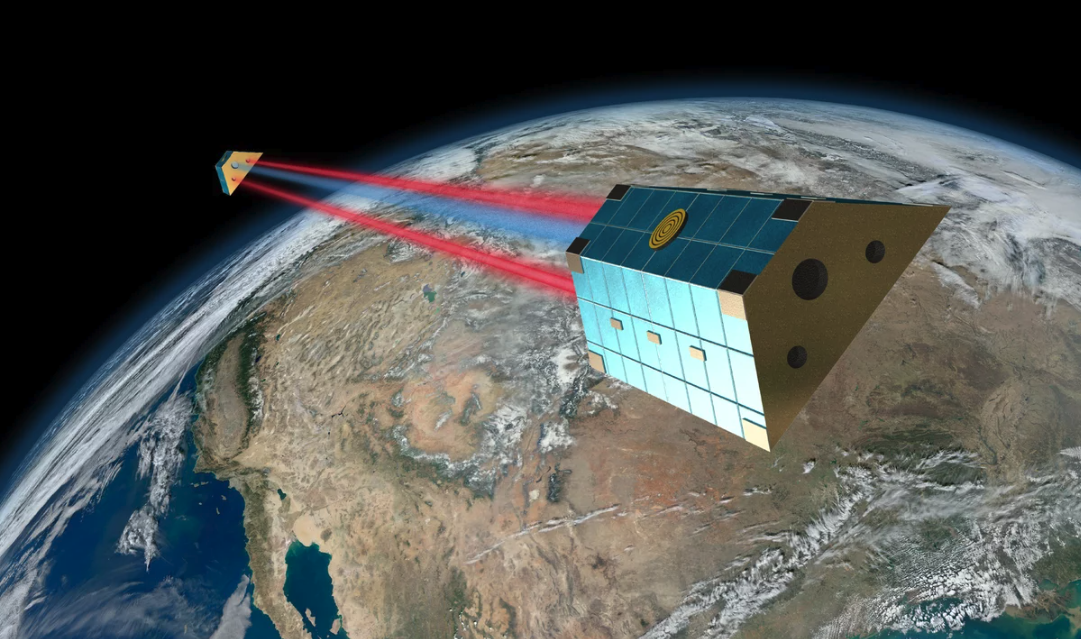
The GRACE Groundwater Subsetting Tool (GGST) uses data from the NASA Gravity Recovery And Climate Experiment (GRACE) mission to analyze long-term groundwater storage change for selected regions. GGST can be used to identify and characterize conditions in data-poor areas or identify trends in other regions where trends can be obscured by noise from well data. GGST uses GRACE mission data to compute and display changes in water storage in a web-based mapping system and integrates data from both the GRACE and GRACE-FO missions. GGST uses NASA GLDAS surface water data to derive groundwater storage changes. It accepts shapefiles to define regions representing countries, basins, or aquifers. It then aggregates the water volume changes in those regions and displays the results as time series plots for the whole region or at selected points. It also displays an animated map of the storage change anomalies.
These tools were originally developed via funding from the National Aeronautics and Space Administration: 80NSSC20K0155; United States Agency for International Development: Cooperative Agreement with SERVIR West Africa Hub. More details about this project can be found here: https://hydroinf.groups.et.byu.net/servir-wa/